
Samaria Gorge weather: forecast sources and route context
Last updated October 2026
Choose the forecast coverage
Use a named location and read the provider's issue time and units there. A mountain-start forecast and a coastal forecast serve different parts of the day. Neither gives park permission.
Omalos: mountain-area reference
Yr location Omalós, Chania, Crete. This is a populated-place forecast for the wider approach, not the exact Xyloskalo entrance or the whole gorge. Read the current issue time and selected units on Yr.
Agia Roumeli: coastal village
Yr village location Agia Roumeli, Chania, Crete. This is a coastal point, not an offshore sailing or each part of the gorge. Read the current issue time and selected units on Yr. Match the local Europe/Athens date.
Official warnings
Read current warnings for the relevant part of Crete and their valid period.
Entrance permission
A forecast cannot overrule a closure or confirm an unmentioned entrance.
| Source point | Height context | Coverage limit |
|---|---|---|
| Yr Omalos | About 1,040 m in the provider location record | The populated place, not the exact Xyloskalo entrance. |
| Yr Agia Roumeli | 9 m in the provider location record | The village point, not an offshore boat forecast. |
Forecast issue time and valid period: Not stored here; read the provider's current page. Units: Use the selected units shown there. We do not supply cached temperatures, wind values or rain totals.
Yr location links checked 15 October 2026. No forecast values are stored here. HNMS's warning page could not be read at our last check; open the official source again. A missing warning page never means all clear. Read each source's current issue and valid period.
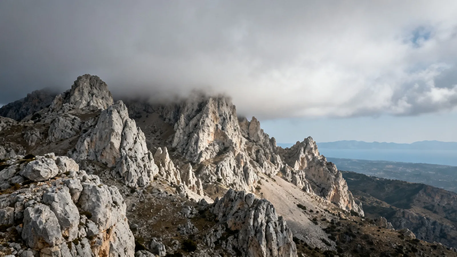
Illustrative planning photograph; this scene does not identify a particular stop, trail section or supplier.
Contents7
Samaria Gorge weather needs more than a forecast for Chania. Check the mountain approach near Omalos, the coast at Agia Roumeli and the official warnings. Then read NECCA's access notice. A fair forecast does not mean the gorge is open, and a calm beach does not establish the state of the mountain route.
Use Omalos for a named mountain-area forecast and Agia Roumeli for the coastal finish. Read the date, issue time and units on each provider page. Neither point covers every part of the gorge. Check official warnings and the park notice separately, and ask the ferry operator about the sailing you need. If any required check is missing, leave the day unconfirmed.
Samaria Gorge weather sources by part of the day
The reference above links to named Yr locations: Omalos in Chania, Crete, and the village of Agia Roumeli. Omalos is an area reference for the mountain approach. It is not the exact Xyloskalo entrance or a sensor inside the gorge. The coastal point is the village, not an offshore sea forecast.
Facts checked: 15 October 2026. The location records were checked with Yr on this date. No forecast values are stored or presented here as current. Open the provider for the latest date and read its issue time. All planning times should be matched to the Europe/Athens local day shown by the source.
Use the hike guide to put the weather check beside the chosen walking extent. A full crossing and a southern visit use different parts of the area and have different return needs. Both still depend on the current park instruction.
Read the forecast rather than only the symbol
A single sun or cloud symbol is a summary. Read the hourly detail for the time you expect to be on each part of the route. Check rain and wind as well as temperature. Look at the units before comparing values from two sources, since your own provider settings may change them.
Do not copy a coastal temperature onto the mountain start. A point forecast has a named location and height, while the walk spans a changing landscape. The Yr Omalos record is useful context, not a promise that the entrance or gorge floor will have the same conditions.
Keep the source time with any saved screen. A forecast saved before a trip can be out of date by departure. Read it again close to the walk, and note whether the source has updated or the day has moved beyond its useful range.
Rain, heat and wind need separate decisions
Rain is relevant to the walking route, not just to whether you want a jacket. The official route includes a riverbed and crossings. Follow NECCA's notice and staff instructions about access rather than trying to infer a safe route from one forecast point.
Heat changes what a long walking day asks of you. Carry water and suitable sun protection, as NECCA advises. Avoid using a boat deadline to justify a pace that gives no time to rest. If conditions and your own limits do not fit, change the day or the route before entry.
Wind also matters to the boat you need after the walk. A land forecast does not confirm a sailing. Read the ANENDYK route information and check with the carrier for the exact service, especially when warnings or changed conditions affect the coast.
Warnings and park access are separate sources
Use the Hellenic National Meteorological Service for official weather warnings and NECCA for the park instruction. A warning can cover an area larger than the gorge. Read the place and time span named in it, rather than assume every alert applies in the same way to both entrances.
The entrance-status guide keeps the last checked park observation clearly dated. The retained NECCA notice reported both entrances closed pending inspections. Neither this page nor a forecast selector can turn that record into a reopening date.
If a provider page cannot be read, do not present its old values as fresh. Use another suitable source and keep the coverage clear. If the park notice cannot be checked, present permission remains unconfirmed. A source outage is a gap to resolve, not an opening signal.
A weather check before leaving your base
- Open the mountain-area and coastal pages for the intended local date.
- Check the provider's place name, issue time and units.
- Read official warnings for the relevant area and time.
- Read the current NECCA notice for the entrance and route.
- Confirm the required boat with its operator.
- Reconsider the walk if a required part of the plan is unresolved.
This is a set of source checks, not a forecast model. We do not combine the points into a route average or compute a “safe to hike” score. Those results would hide the differences between weather, access and transport.
Weather questions
Is Chania's forecast enough?
No. Chania is your base for many visits, but the walk starts in the mountains and finishes on the south coast. Read forecasts with those locations in view. Even then, a pair of point forecasts does not describe every part of a gorge. Current park instructions and on-site signs remain essential.
Does sunshine mean the gorge is open?
No. An inspection, route issue or other restriction can keep entry closed despite a fair forecast. Read the official notice for the date and entrance. A sunny symbol is not permission, and a tour still listed for sale does not change the authority's instruction. Check access as its own task before travel.
Verdict on Samaria Gorge weather
Check Samaria Gorge weather through named mountain and coastal sources, with their current times and units. Keep official warnings, park permission and ferry operation as distinct checks. Choose a day only when the whole plan works for your party and the actual permitted route.